
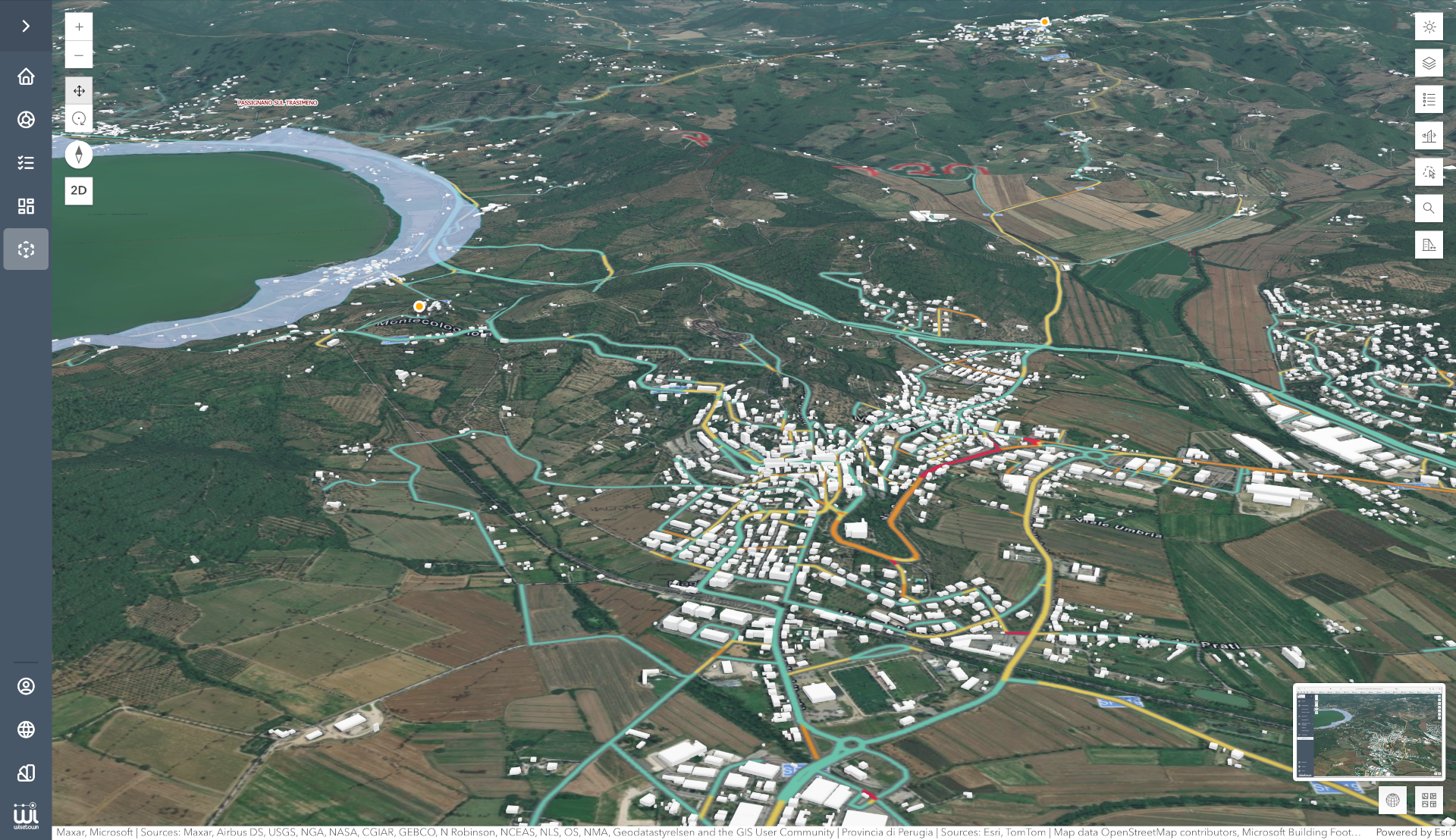
Geographic Information System
Spoleto

The project carried out for the Municipality of Spoleto involved the application of GIS tools in three main areas of use:
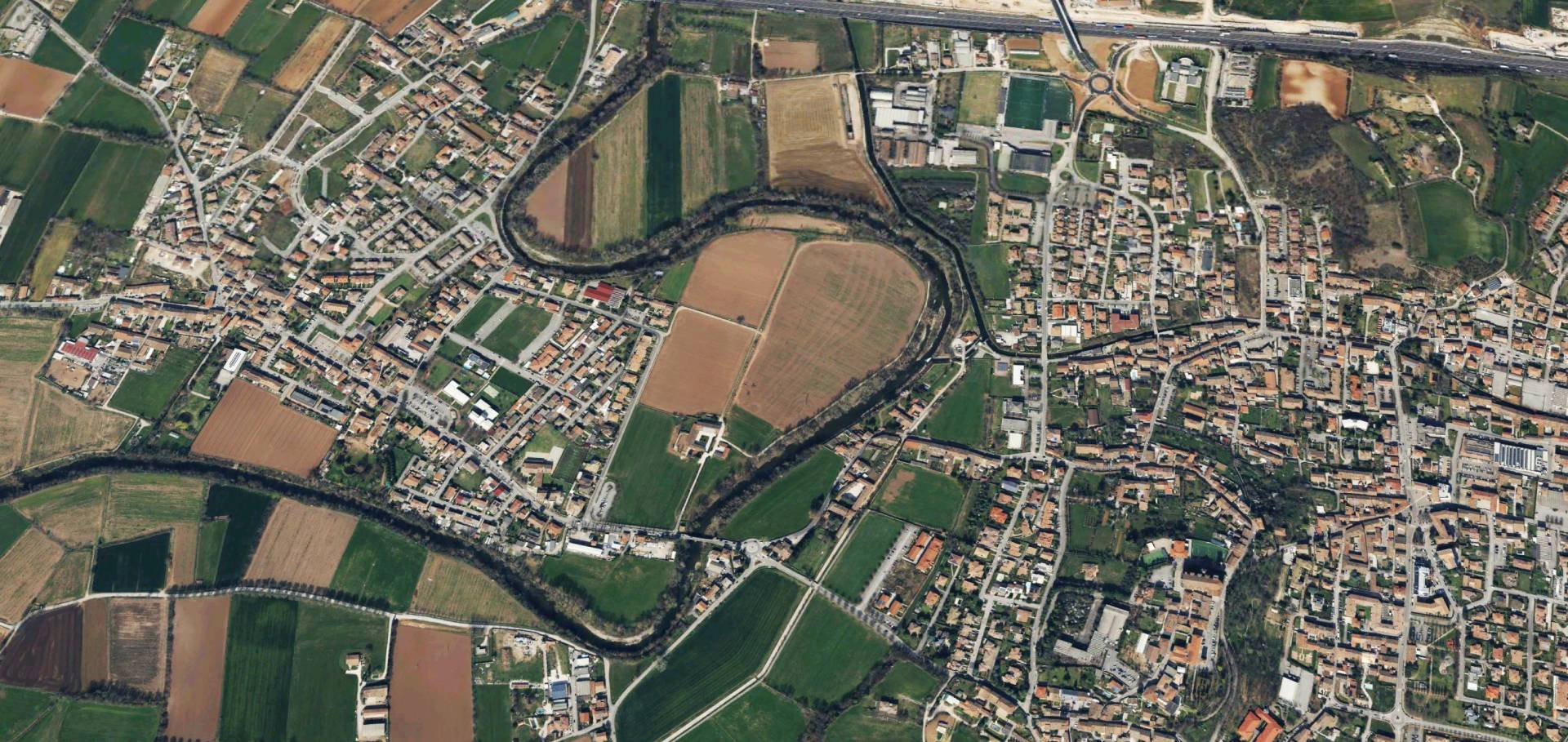
- The migration of GIS municipal data into a single repository represented by the ArcGIS platform has been carried out. Based on this data, work modules and functional applications were developed for technicians and citizens, enabling the visualization and querying of territorial data. For example, applications are available for visualizing municipal assets or environmental data, just to name a few. Additionally, systems for external data collection (ArcGIS Apps) have been configured, which are useful for the implementation of municipal data.
- Customization of a GIS-based application for consulting cadastral data, Docfa, and cadastral extracts. The application allows for the visualization of the cadastral map and the consultation of property history, ownership, and floor plans.
- Connector for importing data into ArcGIS from sensors located in the city for monitoring ZTL (limited traffic zone) transits and parking transits. The data can be viewed in the ArcGIS Dashboard.
The project leveraged the technologies of the ArcGIS platform:
- ArcGIS Enterprise, as a repository for GIS data. This made it possible to store even very large datasets, such as those of the Municipal Master Plan (PRG).
- ArcGIS Online, as an environment for configuring maps and applications.
- ArcGIS Pro, as a desktop tool for data construction and verification.
- ArcGIS mobile apps, useful for the census of geolocated data in the field.
Many ArcGIS applications have been exploited for different purposes, such as Survey123 for building web censuses, Field Maps for outdoor censuses, Experience builder for configuring web tools for visualization, data search and querying, and Dashboard for visualizing data statistics.
The benefits brought by the migration of Municipal GIS to ArcGIS were:
- The presence of a single repository of Municipal data, which various users, including those external to the organization, can access.
- The ability to configure permissions and roles for different users on each piece of data (editing, viewing).
- The provision of the innovative application for consulting the land registry, DOCFA, and cadastral extracts, to be made available to all municipal technicians.
- The availability of ready-to-use GIS application configuration systems, without the need for development.
- Availability of efficient external outdoor census tools that collect data and convey them in real time into GIS maps.
Municipality of Spoleto
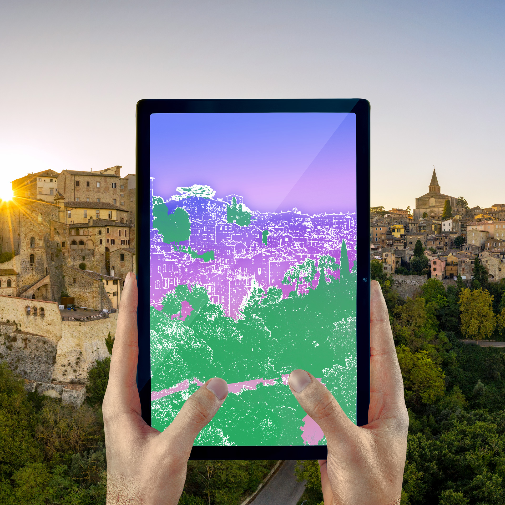
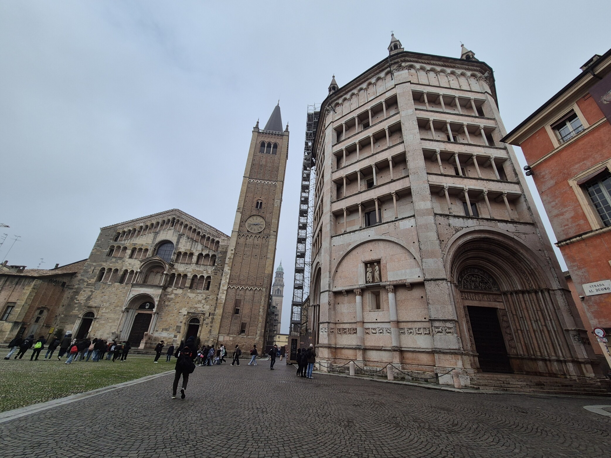
Spoleto is one of the gems of Umbria, a place where art, history and nature coexist in harmony. Its artistic heritage ranges from Roman era to the Renaissance. The city is dominated by the Rocca Albornoziana and crossed by the Ponte delle Torri. The historic center hosts theaters, churches and sights that tell of centuries of culture. Spoleto is also famous for the Festival dei Due Mondi, an international event that celebrates music, dance and theater. Surrounded by the greenery of the Umbrian hills, the city is a meeting point between scenic beauty and cultural vibrancy.

The contribution to sustainable urban development
The project aims to contribute to the achievement of the following Sustainable Development Goals of the 2030 Agenda, defined and promoted by the United Nations.


It might also interest you
WiseTown® | Piter (Integrated Territorial Platform)

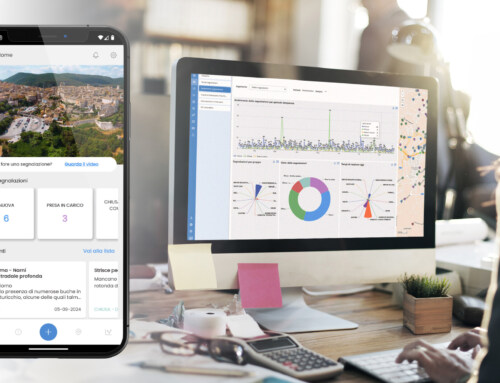
WiseTown® | Geographic Information System Spoleto

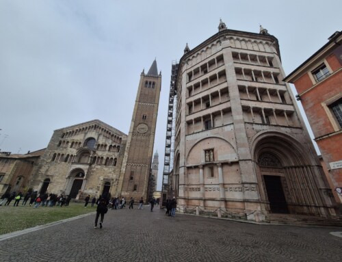
WiseTown® | Parma Digital Twin: Innovation for Climate Neutrality 2030

WiseTown® | Narni, digitalized and sustainable municipality
WiseTown® | Todi, a smart and sustainable municipality

WiseTown® | Fratta Todina, technological innovation for the protection of citizens and the territory
WiseTown® | Strategic Roadmap for Digital Innovation of the Municipality of Calcinato


